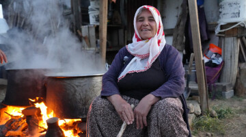
In the province of Iğdır, which has highly fertile soils, many sorts of fruits, vegetables, and agricultural products are farmed. The products grown in Iğdır are sufficient for all of the region's provinces.
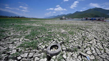
Yusuf Abay, a chemist and wanderer, noted that despite Iğdır's high geography, it is gradually being desertified.
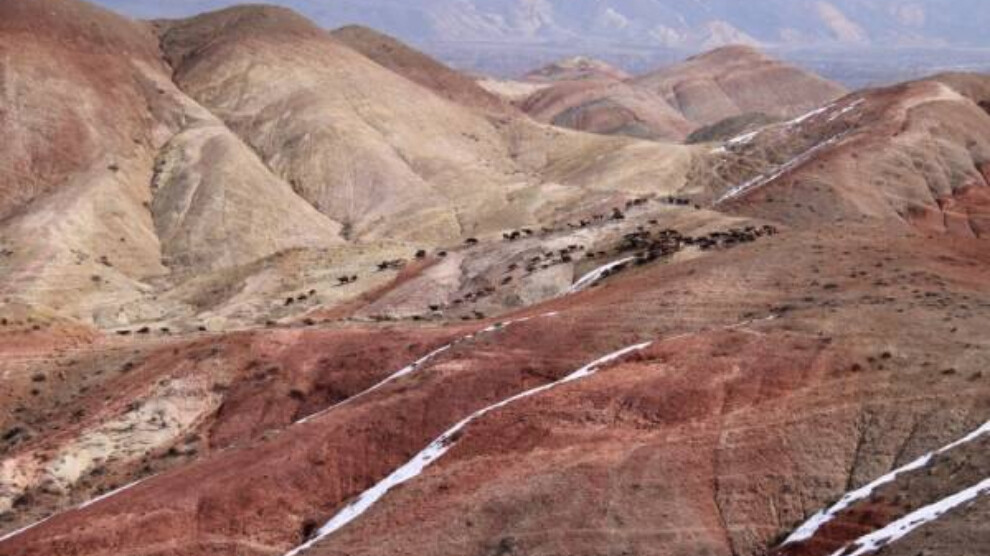
Abay said: “Iğdır is situated on a bowl-shaped plain surrounded by the Alagöz (Elegez) mountains, Ararat mountains, Zor mountains, and Aras mountains. The fertile Iğdır Plain, which is supplied by the Aras River, is ideal for many types of agriculture. With an annual precipitation average of 250-260 mm, Iğdır is one of the two regions with the least precipitation, along with Tuz Gölü (Salt Lake) and its surroundings. Because of its microclimate climate and average yearly temperature of 11-12 degrees, Iğdır is one of the richest regions in terms of vegetation and wild animals. A survey found that 49 percent of bird species visit the Iğdır plain only once a year. In addition, it is possible to come across endemic animal species such as Coypu, 5-toed jerboa, Iğdır desert rat, Caucasian agama in Iğdır. It also hosts wild animals such as lynx, leopard, brown bear, wild boar and wolf. In addition to the wildlife, it is possible to come across wild fruit trees such as birch, corncockle, crab pear, crab apple, currant, rosehip and almond in the highlands and valley floors of Iğdır. The plant diversity of the Iğdır highlands, which are adorned with flowers such as mountain anemones and daffodils, is also very rich.”
FACTORS AFFECTING THE DESERTIFICATION PROCESS
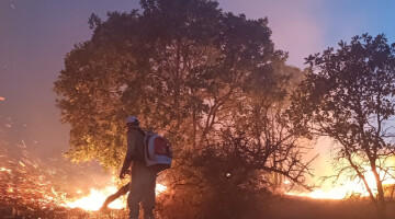
Unfortunately, the city, which is rich in plant and animal diversity, is gradually becoming desertified, said Abay, and explained the factors affecting the desertification process:
“The district of Aralık and the skirts of Mount Ararat to the east of Iğdır have already taken on the appearance of a desert. This is the second most affected area by wind erosion. The factors that contribute to desertification in this region are poor vegetation, poor soil structure, and overgrazing. Rainbow Hills, located in the Tuzluca district to the west of Iğdır, is the second major erosion area in the city. Wind erosion and flooding have caused loss of life and property in both areas in the past. Aside from these sites, Erhacı cliffs, Halfeli and Hoşhaber village pastures are suitable for wind erosion. It is possible to list the factors affecting desertification in Iğdır as follows: The territory's geographical location, precipitation regime, widespread ovine breeding in the region, a lack of planned greening activities, the drying of wetlands (swamps) for agricultural uses, sand and stone quarries, the city's establishment on fertile agricultural land and thus the decline in green areas and trees, the HEPP projects and dams built along the Aras River.”
PRECAUTIONS MUST BE TAKEN
Emphasizing that urgent steps should be taken to prevent desertification and erosion in Iğdır and its districts, Abay concluded: “The Ebucehil bushes in the Aralık district's erosion region should be protected, and the growing area should be extended. Mount Ararat and the Geven plants that surround it should be protected. While farmers should be made aware of erosion and desertification, overgrazing must be avoided through planned and conscious farming. Again, it is critical to halt projects such as HEPPs and dams. It is also critical to improve pasture areas. Soil investigation of the Rainbow Hills and enhancement of the region's vegetation should be conducted. Dredging is essential in wind erosion locations to hold flood-eroded soils. If no action is taken in Iğdır, the desertification process will continue rapidly.”