The Serekaniye region of Heseke is famous for its ground water and springs. Known as the water basin of Kurdistan, the city has 360 rich springs that provide for all the city and the Xabûr stream.
Engineers in the region say there is a giant water reservoir that goes for 18 km underground in Serekaniye, towards the Sefeh Heta Town and another that goes for 15 km towards the Turkish border. There are also some 3.000 wells in the region, on top of the rich water sources.
But the wells drilled by the Turkish state over the waters that flow into the region has affected the level of groundwater in the district. The Turkish state’s practices in colonized Northern Kurdistan which is higher in altitude than Rojava directly affect the Serekaniye region.

Engineers in the region say the Turkish state has drilled at least 4.000 wells that run day and night just across the Serekaniye border, and built concrete wells and sets in front of the waters that come to Serekaniye, which has lowered the level of groundwater. There used to be water in wells dug just half a meter deep up to 2002, but now one has to drill 27 meters to find water.

LANDSLIDES BEGIN
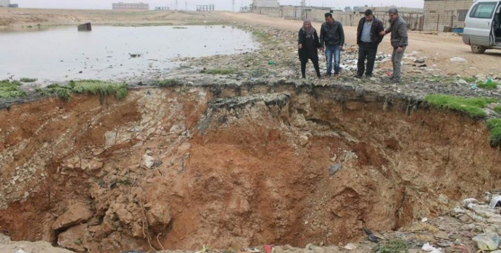
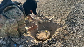
Landslides have become frequent in areas with former water sources that have dried up due to Turkish state practices. Public Works Director in the Serekaniye Municipality Ebdulezîz Oso said there was a 25 meter deep landslide in the Zerganê region. When they researched the cause, the municipality saw that the groundwater had dried up up to 22 meters: “The most dangerous part is that it is unknown where there are hollows underground.” Oso said landslides usually happen in the winter, and asked that citizens only do construction with relevant permits.
It is possible to drill a well if three households come together in the region.


