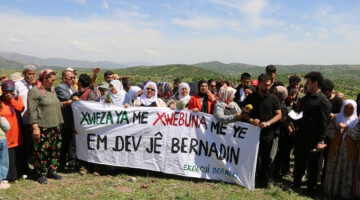
Images of the destruction on Mount Gabar
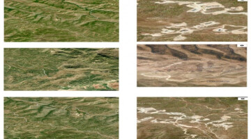
The environmental damage caused by tree felling, mining, and oil exploration on Mount Gabar has been documented.
The environmental damage caused by tree felling, mining, and oil exploration on Mount Gabar has been documented.
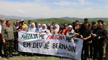
Serious environmental destruction has been taking place in the Şırnak region over the past five years. The destruction of nature is particularly concentrated in the Cudi and Gabar mountains and the Besta region. Many areas have been devastated due to ongoing deforestation in these regions. The destruction in areas banned every 15 days under the name of “special security zones” is growing day by day.
In addition to deforestation, mining and oil exploration are destroying habitats in the Gabar mountain range. Dynamite blasts and tree felling are threatening the lives of all living creatures in the region. Water sources are drying up and becoming polluted. Tens of thousands of trees have been cut down to make way for oil wells and roads leading to newly built military posts and bases.
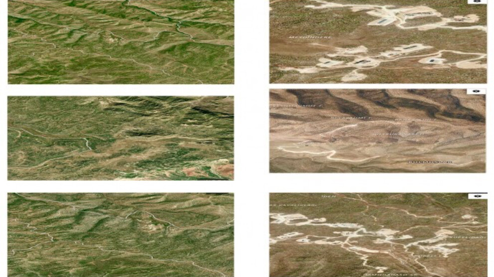
Mezopotamya Agency (MA) published satellite images of the destruction of nature in Gabar. While the images from two years ago show no damage to the foothills and peaks of the mountain, images from 2025 reveal that not a single spot on the mountain remains untouched or uncarved.
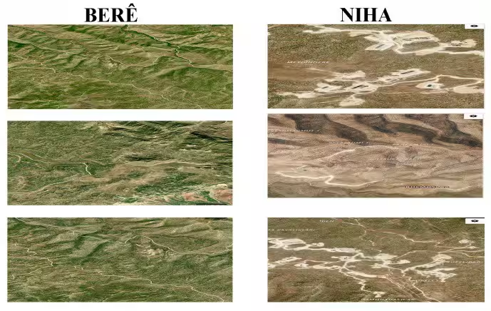
The damage appears to have affected the villages of Zivîng, Xurs, Hirareş, Basrê, Miştexan, Dêrşew, Spivyan, Deştalala, Meydîn, Aşilme, Berêmîrê, Şerefiyê, Ziving, Germê, Dêra, Ewên, and Bênat, access to which has been banned for years. Aerial recordings of the area where the villages are located reveal the extent of the destruction.